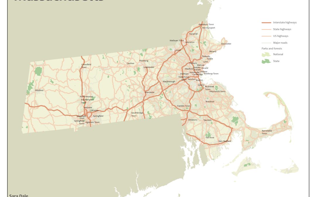
 Lesson #1 for ESRI Cartography MOOC – creating a road map of various street types of Massachusetts. This lesson included: Creating queries to filter symbology and labelsDesigns for polylines to make them more uniform and smoothBalancing color and...
Checking out the AR Sandbox from Normandale Community College. Topographic lines are reprojected in real-time as sand is moved around the box.
Lesson #1 for ESRI Cartography MOOC – creating a road map of various street types of Massachusetts. This lesson included: Creating queries to filter symbology and labelsDesigns for polylines to make them more uniform and smoothBalancing color and...
Checking out the AR Sandbox from Normandale Community College. Topographic lines are reprojected in real-time as sand is moved around the box.
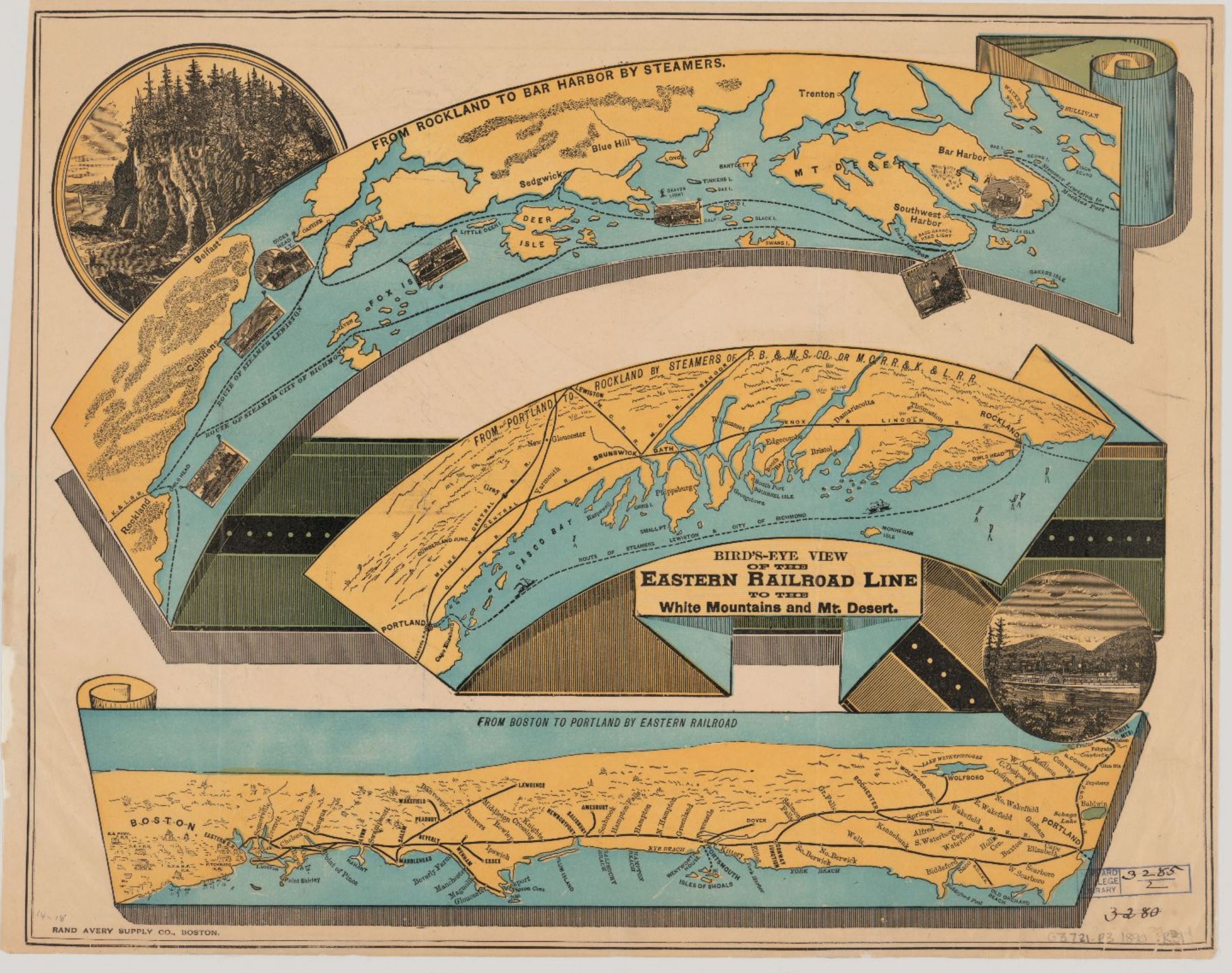 http://harvard-cga.maps.arcgis.com/apps/MapJournal/index.html?appid=36734da71fc74981b271cbe368b0f4f5
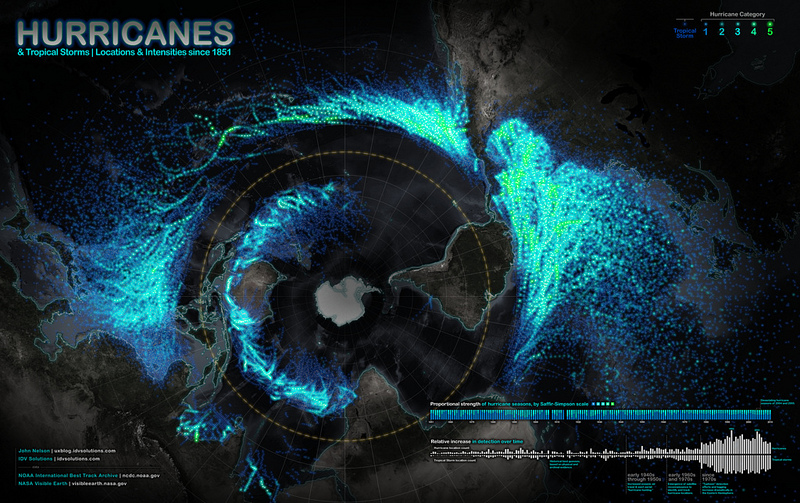 IDV Solutions’ User Experience: Hurricanes Since 1851
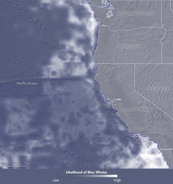 Watching Out for Whales Earth Observatory – Story by Kathryn Hansen and Images by Lauren Dauphin September 1 – 30, 2018


Recent Comments