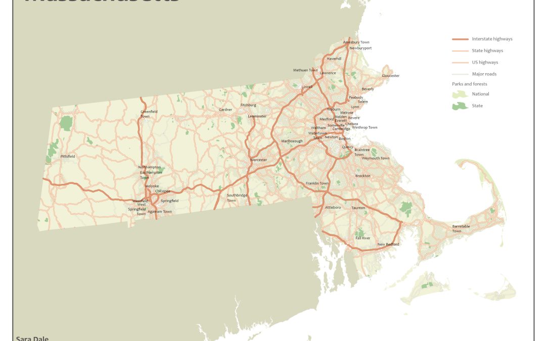
Lesson #1 for ESRI Cartography MOOC – creating a road map of various street types of Massachusetts. This lesson included:
- Creating queries to filter symbology and labels
- Designs for polylines to make them more uniform and smooth
- Balancing color and symbology
- Creating Map Layouts and adding map elements


Recent Comments