
In addition to quite a few eager Oles figuring out the mysteries of the Acropolis and the Imperial Temple at Antiochia ad Cragum this year, courtesy of the Environmental Studies Department, St Olaf is also contributing a pair of Trimble GeoXH mapping-grade GPS receivers to assist with the efforts to map and understand the wider site. We have two devices with us in the field, one as the base station that stays stationary– recording a point over a known location every five seconds, and a rover unit that we use to record positions in the field. When properly set up, and using a satellite based augmentation system like EGNOS (the European version of WAAS in the US), we can use the base station data to do fine corrections of the rover data– and get accuracies of up to 10 centimeters in the field. This is about 10 times as accurate as consumer-grade equipment. In practice, our accuracy is probably degraded a bit, but these devices allow us to accurately map features all over the city quickly and easily– and then input them into GIS on the same day. This is a truly useful ability, since if we mess up in the field, we can see that instantly and then fix the problem while we’re still here, instead of finding out after the fact when we’re back on campus.
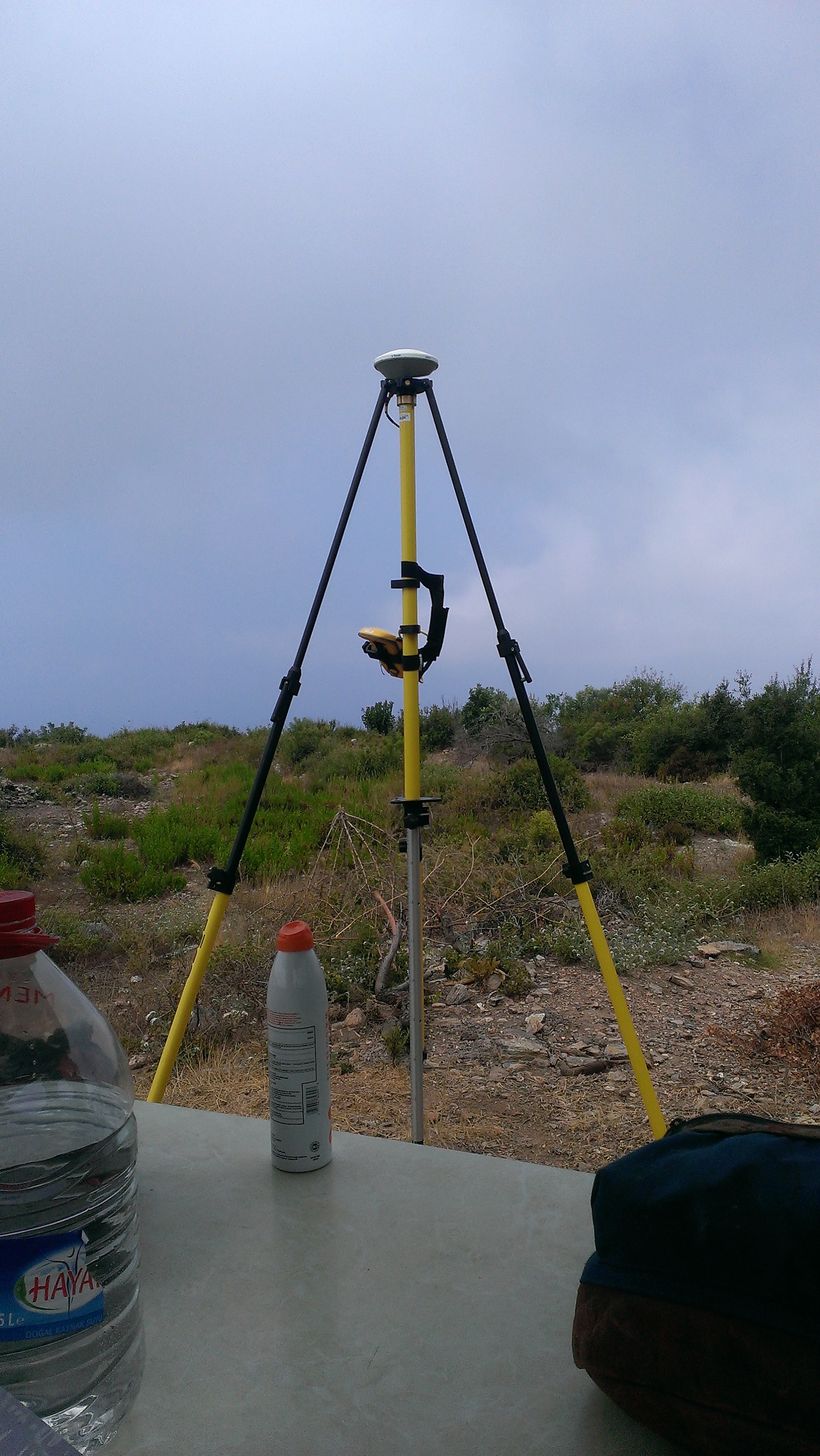
Our Trimble GeoXH base station
Survey has been done continuously on the site since work began in 2008, but these surveys were not necessarily tied together or using the same coordinate system. One of the goals of St Olaf’s participation in the project is to help unify all these different surveys into one coordinate system, the better to have an overall site map with everything in one place, to simply future data collection, and to make it easier to share data with others and the Turkish Ministry of Culture.
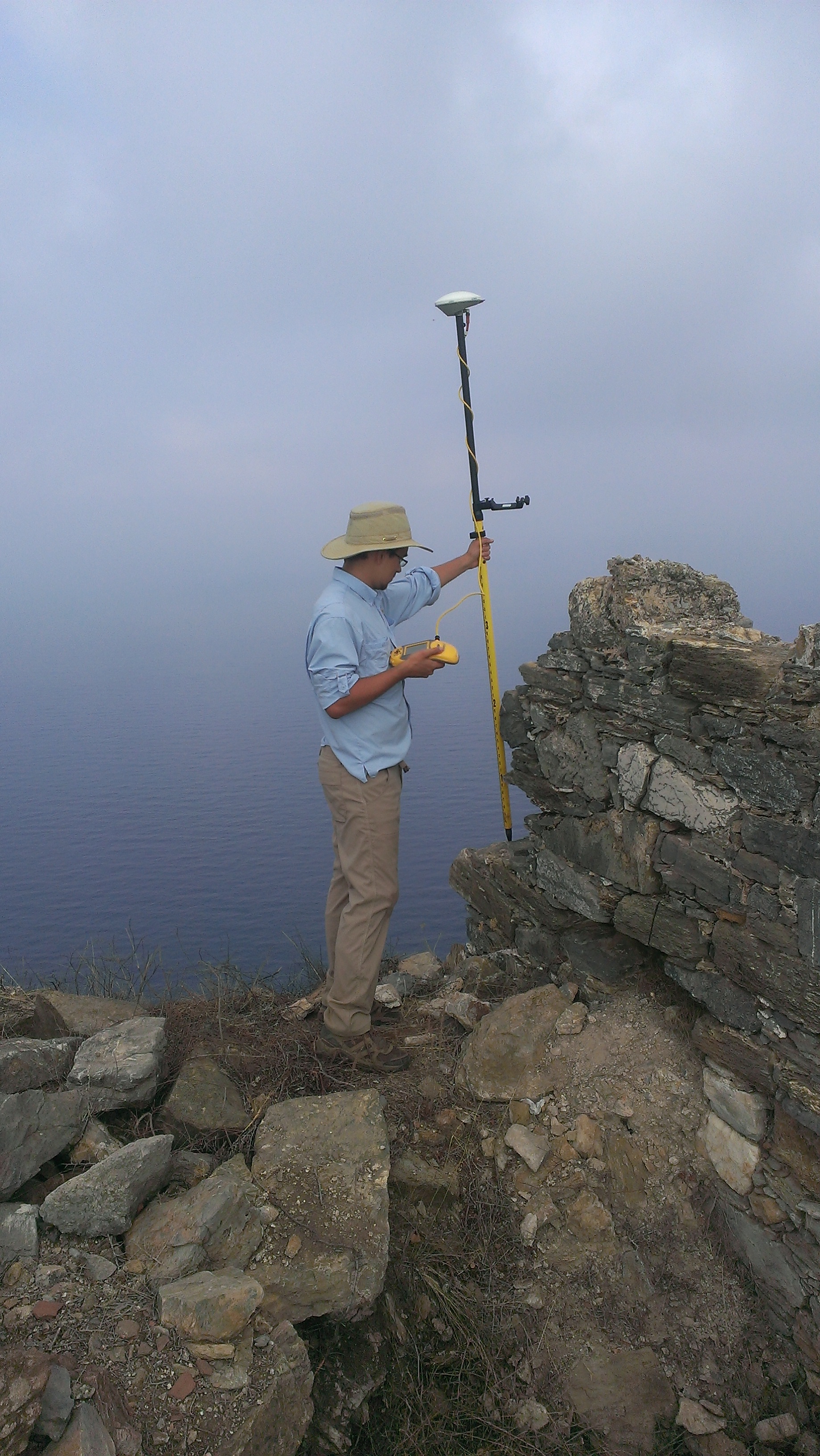
One of our intrepid Oles collecting positions atop the Acropolis
In addition to our efforts to improve the horizontal control system for the site, we’re also in the process of mapping every column we can find on the site. So far that’s 116 columns or fragments of columns spread all over the city, over the Agora, Gymnasium/Great Bath, and Colonnaded Street, especially in the Agora. The majority of the columns at Antiochia ad Cragum are made of Sudanese granite, brought to the site down the Nile through Egypt, then across the Mediterranean to the harbor at below the city. Once there, however, the work wasn’t over– each column is about 4.5 meters tall when intact and weighs several tons, and they all had to be moved over 300 meters up from the harbor to the city.
Once collected, GPS points undergo differential correction using Pathfinder Office software to an accuracy of ~15cm on the ground, and then exported directly into ArcGIS, where most of the site map work is being done. ArcGIS allows for easy access to the data, easy map creation and data sharing with archaeological colleagues, research partners, and the Turkish government.
You must be logged in to post a comment.