Taipei Maps
 Dutch
Dutch  Spanish
  Chinese
  Manchu
  Japanese
  Chinese
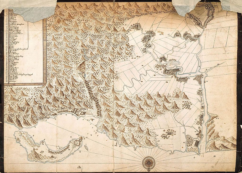
1654 
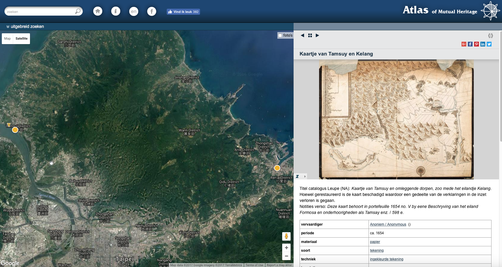
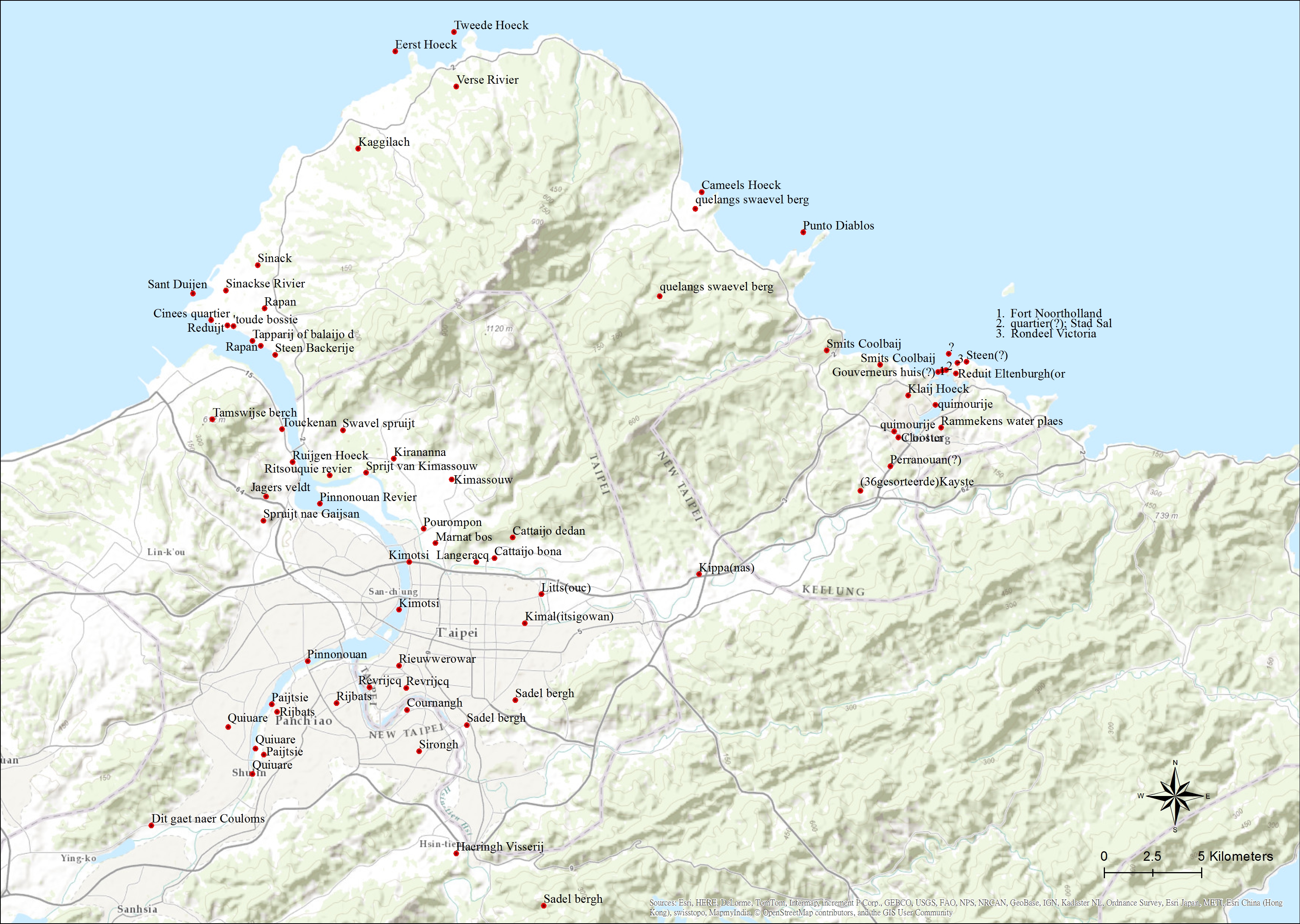
Kaartje van Tamsuy en omleggende dorpen, zoo mede het eilandje Kelang
juxtaposed version (by Atlas of Mutual Heritage)
http://www.atlasofmutualheritage.nl/nl/Kaartje-Tamsuy-Kelang.4602
modern version (by Institute of Taiwan History, Academia Sinica)
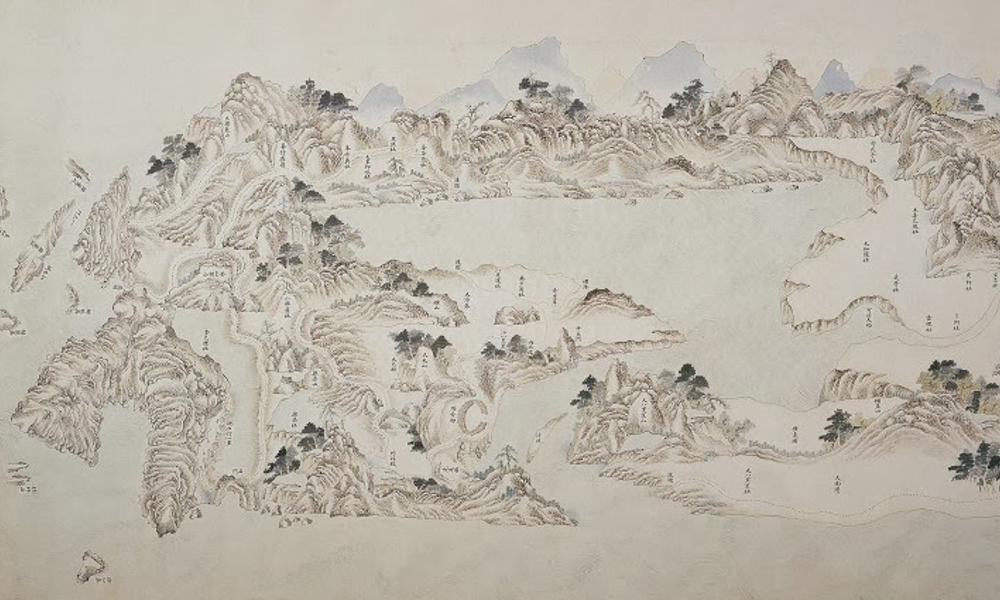
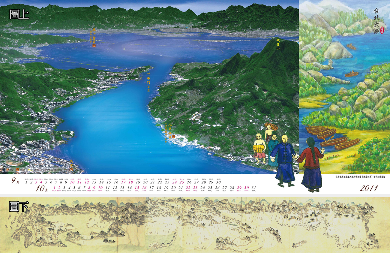
1734 
雍正台灣輿圖 (part)
https://www.thenewslens.com/article/17123
juxtaposed version (by 中央大學太空遙測中心)
http://www.twmemory.org/?p=4869
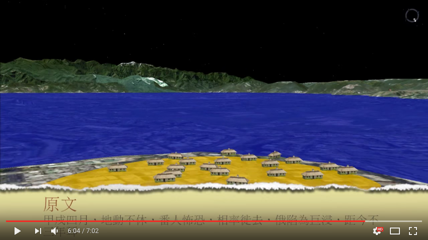
video of Yu Yonghe’s visit to Taiwan (by 廖振順)
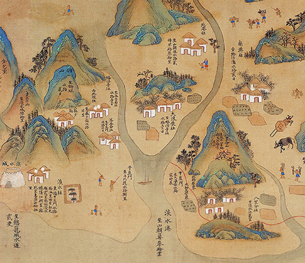
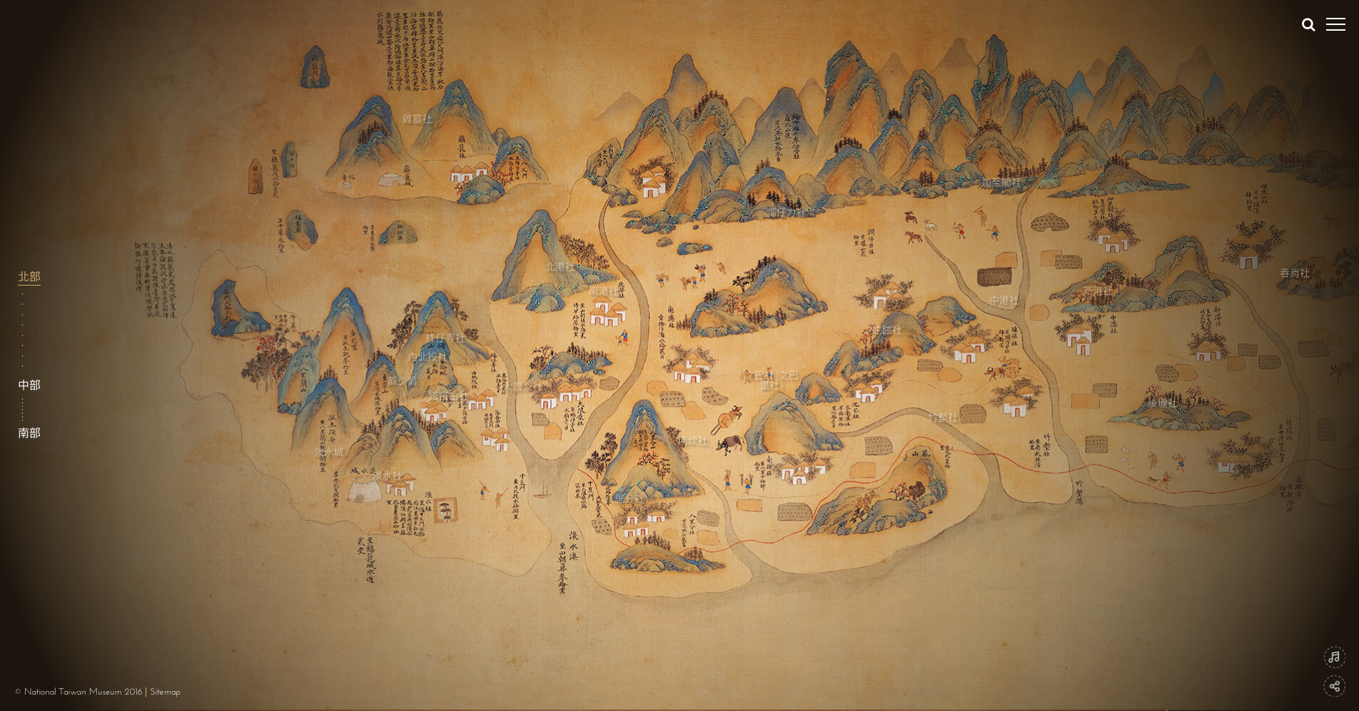
1704 
康熙台灣輿圖 (part)
https://www.thenewslens.com/article/17123
interactive version (by National Taiwan Museum)
http://formosa.ntm.gov.tw/maps/page01.html
1800-1899 various sources
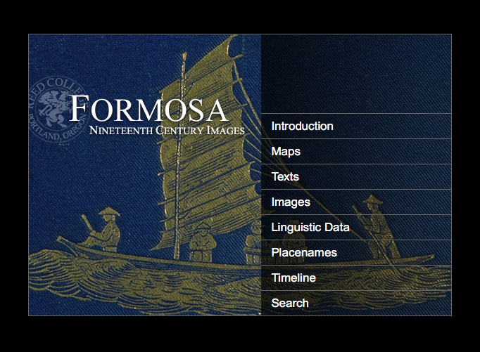
Formosa: Nineteenth Century Images
a database
http://cdm.reed.edu/cdm4/formosa/
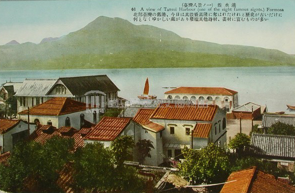
E.g. View of the entrance to Tamsui Harbour
by 1868 British – Davies, Bryer Co.
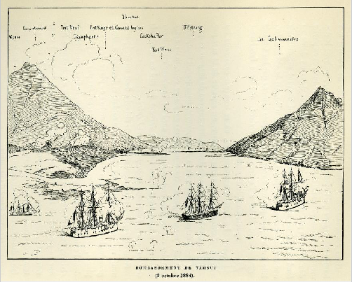
Eg. Bombardement de Tamsui (2 octobre 1884)
by 1885 French
https://rdc.reed.edu/c/formosa/s/r?_pp=20&s=06416614929523549e44b6fd7ebf6eedd753c203&p=11&pp=1
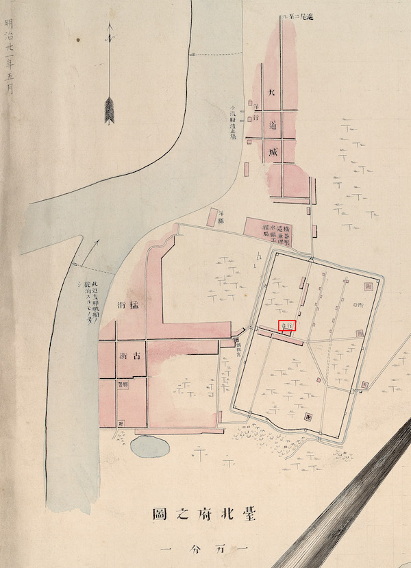
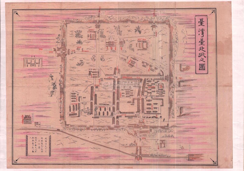
1888 
臺北府之圖
by 小澤德平
http://gis.rchss.sinica.edu.tw/mapdap/?p=4376?&lang=zh-tw
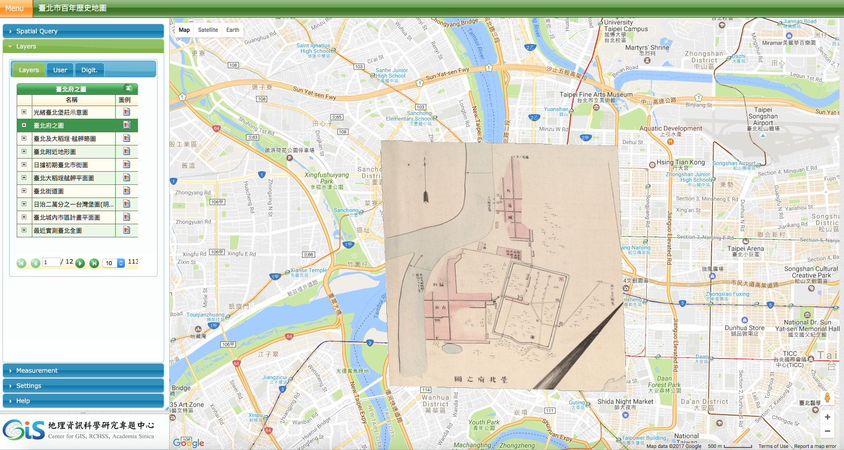
layered version
by Center for GIS, RCHSS, Academia Sinica
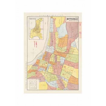
1922 
改正町名臺北市街圖
http://www.smcbook.com.tw/smc/index.php?route=product/product&product_id=629
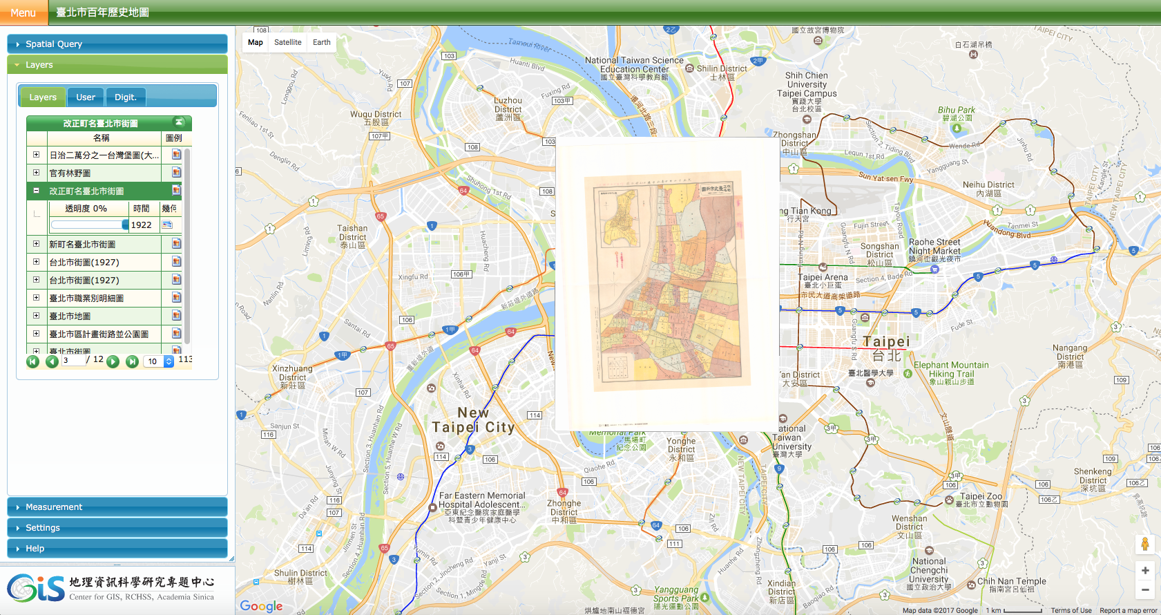
layered version
by Center for GIS, RCHSS, Academia Sinica
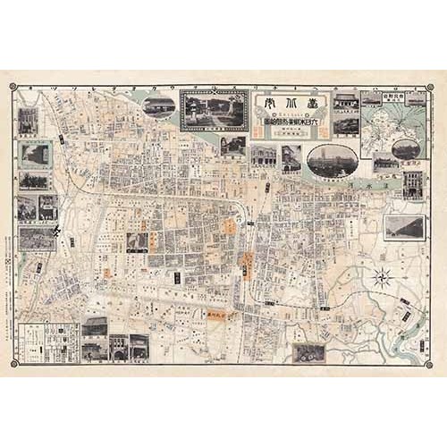
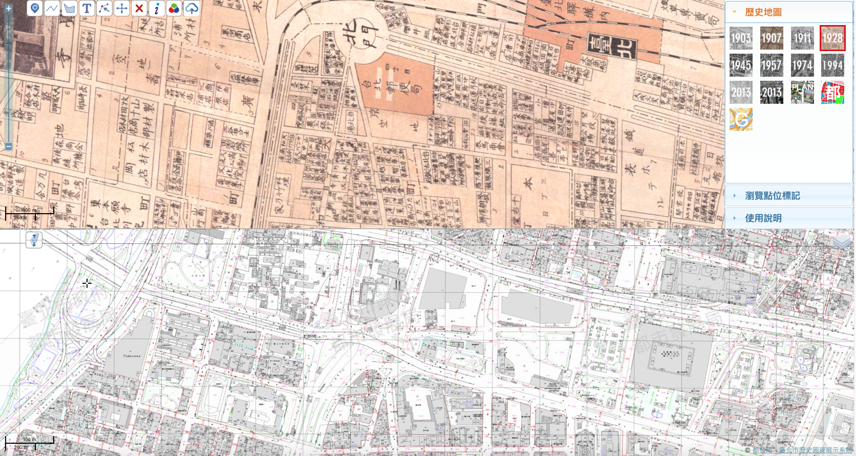
1928 
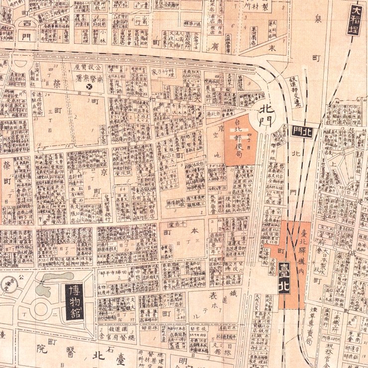
臺北市大日本職業別明細圖
http://www.smcbook.com.tw/smc/index.php?route=product/product&product_id=723
close-up
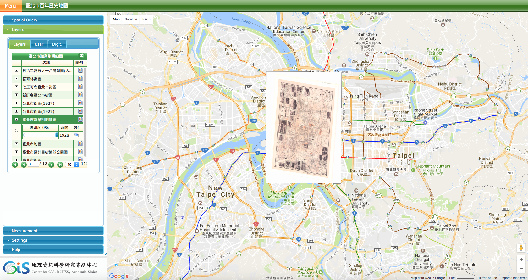
layered version
by Center for GIS, RCHSS, Academia Sinica
1930 Taiwanese-
南街殷賑
by 郭雪湖
http://www.tfam.museum/collection/CollectionDetail.aspx?ddlLang=zh-tw&CID=3175
1935 
臺北市大觀
by 金子常光
https://www.ylib.com/author/history/taipei.asp
close-ups from 台灣鳥瞰圖:一九三○年代台灣地誌繪集
compiled by 莊永明, published by 遠流
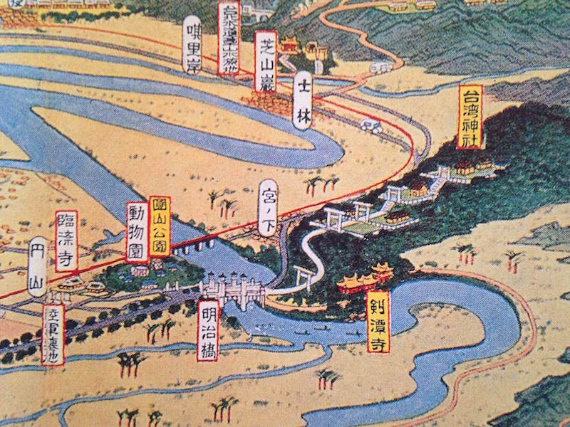
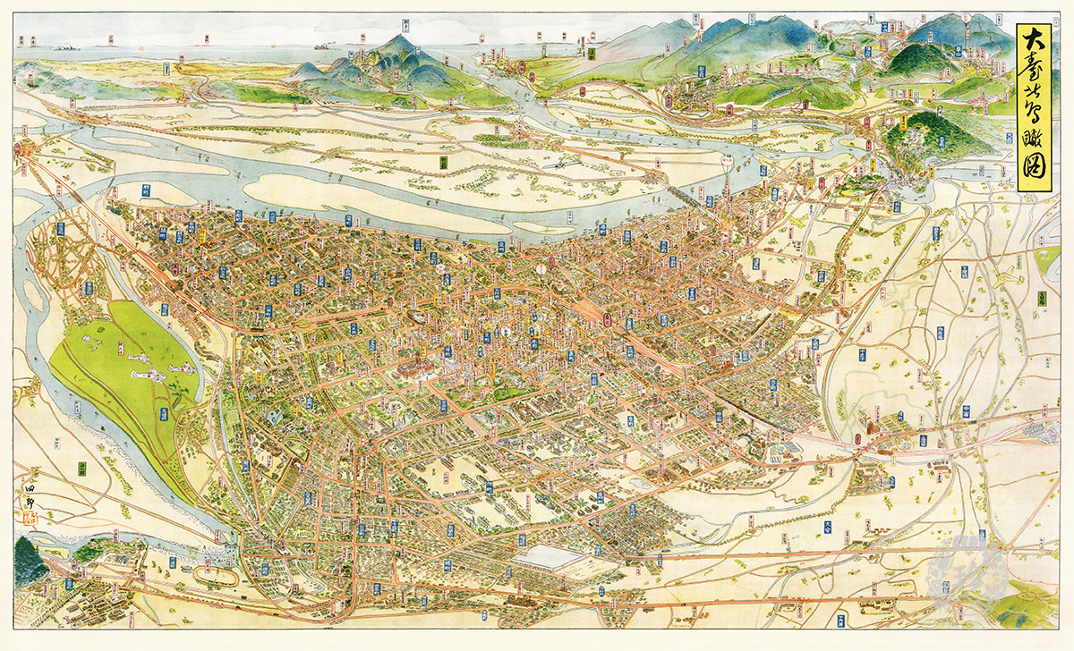
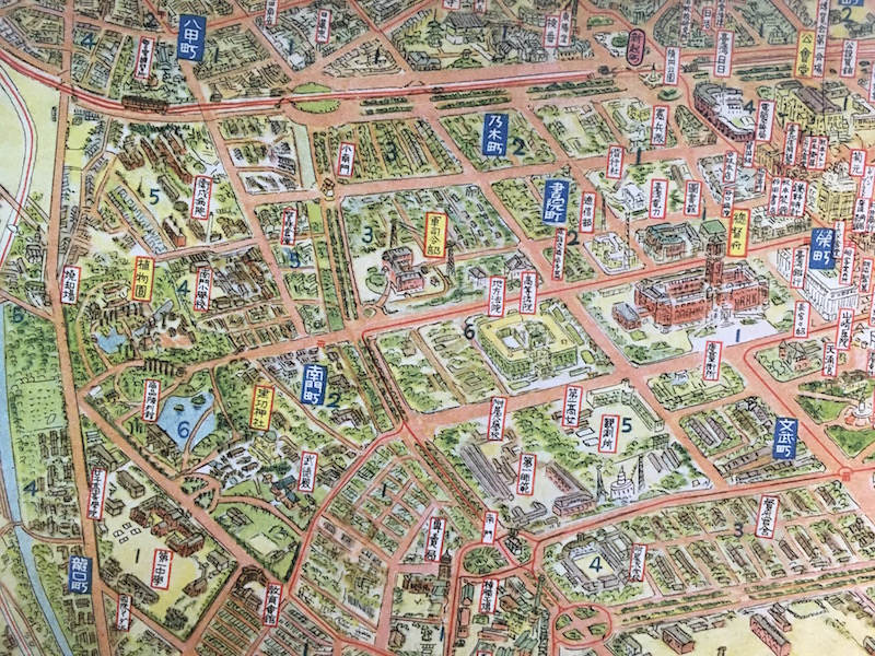
1935 
大臺北鳥瞰圖
by 大窪四郎
https://www.gjtaiwan.com/p/1417/s/復刻地圖
close-ups from 大臺北鳥瞰圖
published by 南天書局
http://www.smcbook.com.tw/smc/index.php?route=product/product&product_id=718
2016 
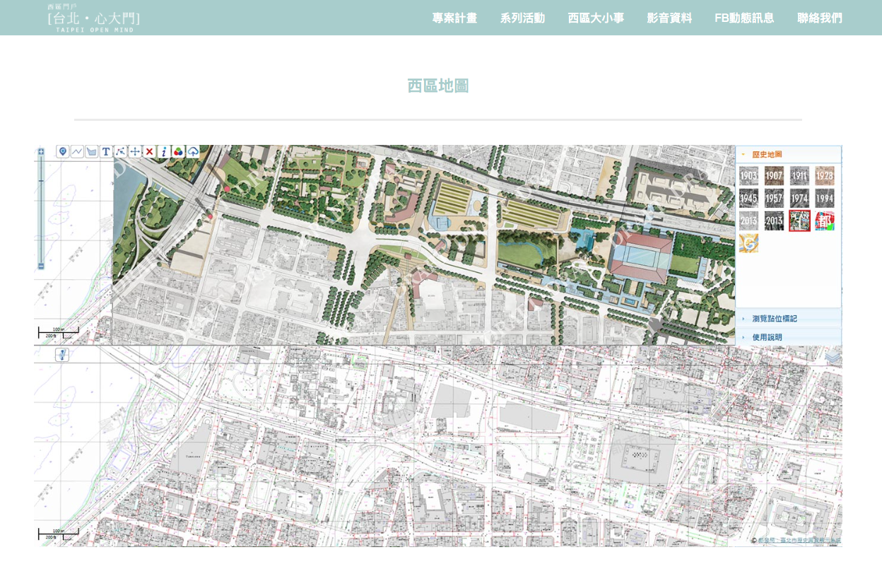
西區門戶計畫:地圖比對
by 西區門戶工作團隊, Taipei City Government
http://gis.rchss.sinica.edu.tw/tpstation/
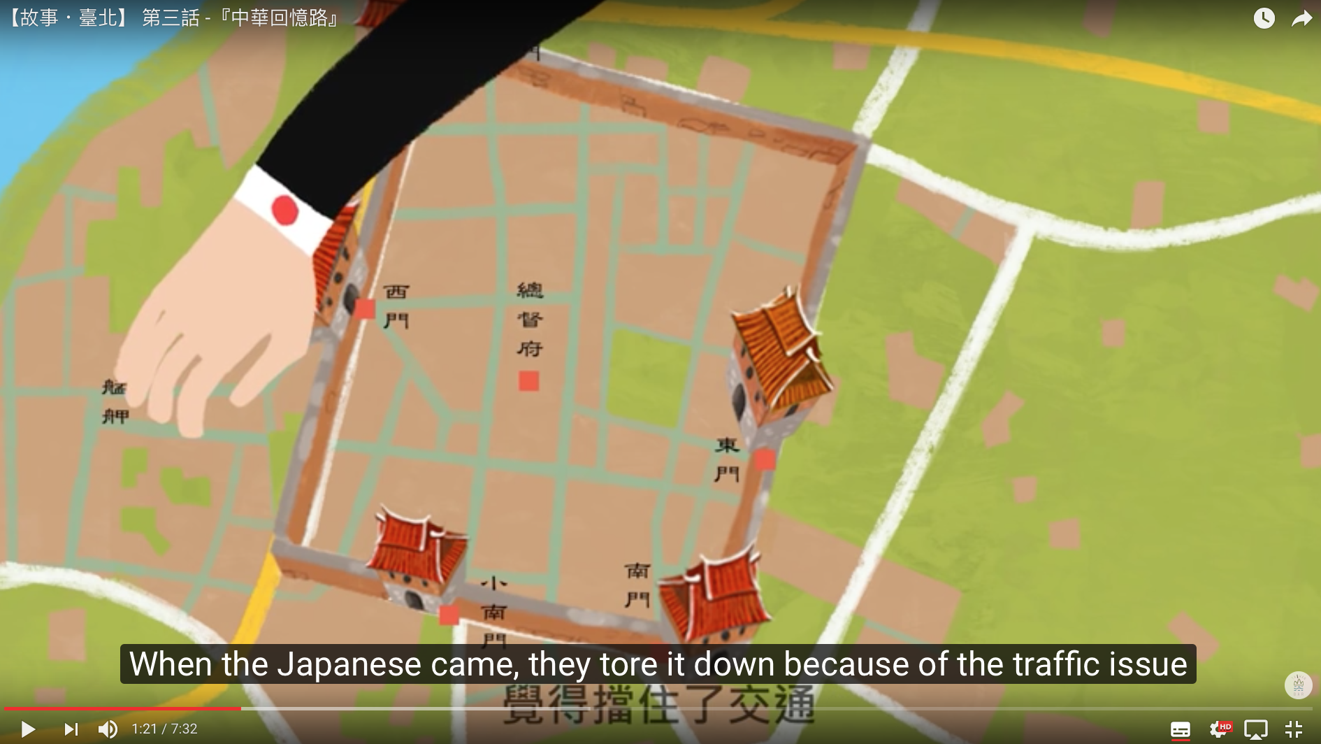
Inside: Reinventing Taipei
by National Geographic
2017 International
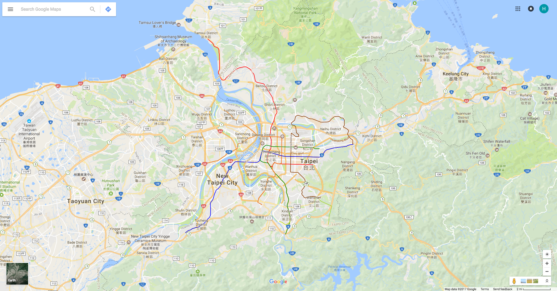
Google Maps
https://www.google.com/maps/@25.0533899,121.529243,11.85z
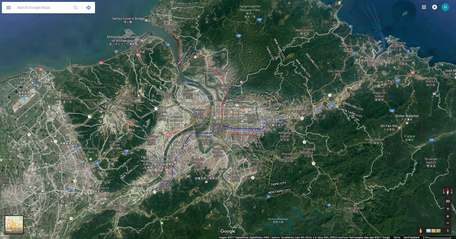
Google Earth
https://www.google.com/maps/@25.0533899,121.529243,34791m/data=!3m1!1e3
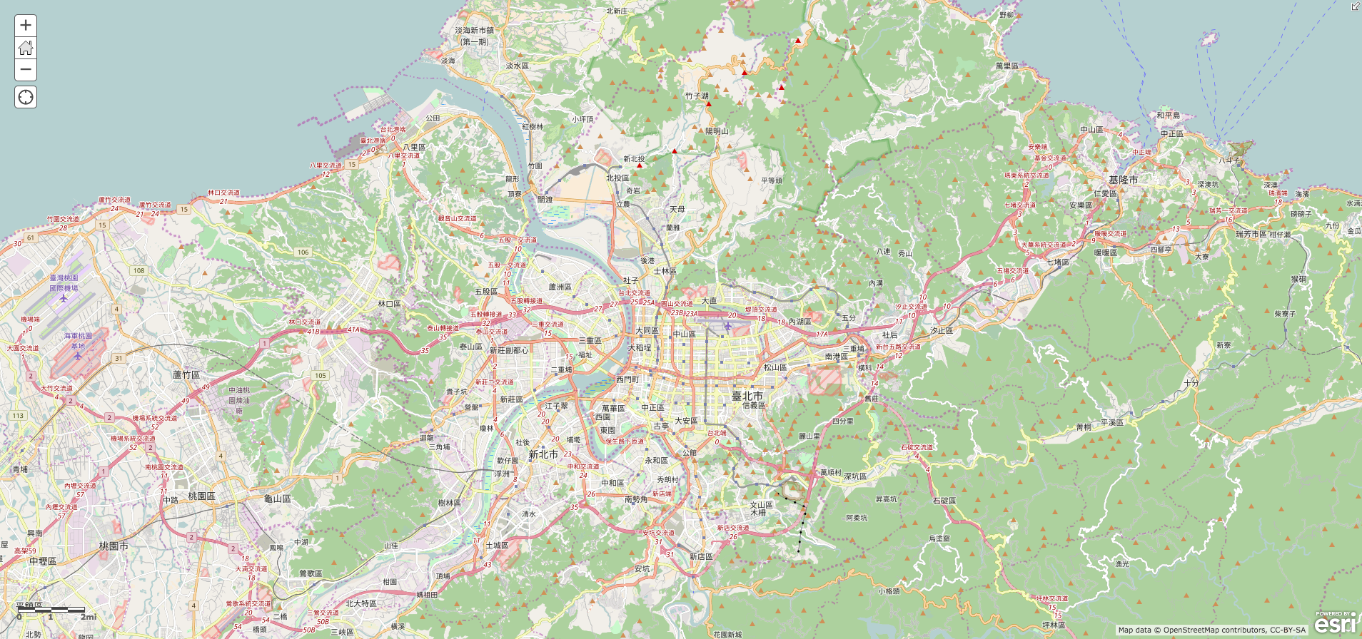
OpenStreetMap – ArcGIS – Esri
https://www.arcgis.com/home/item.html?id=b834a68d7a484c5fb473d4ba90d35e71
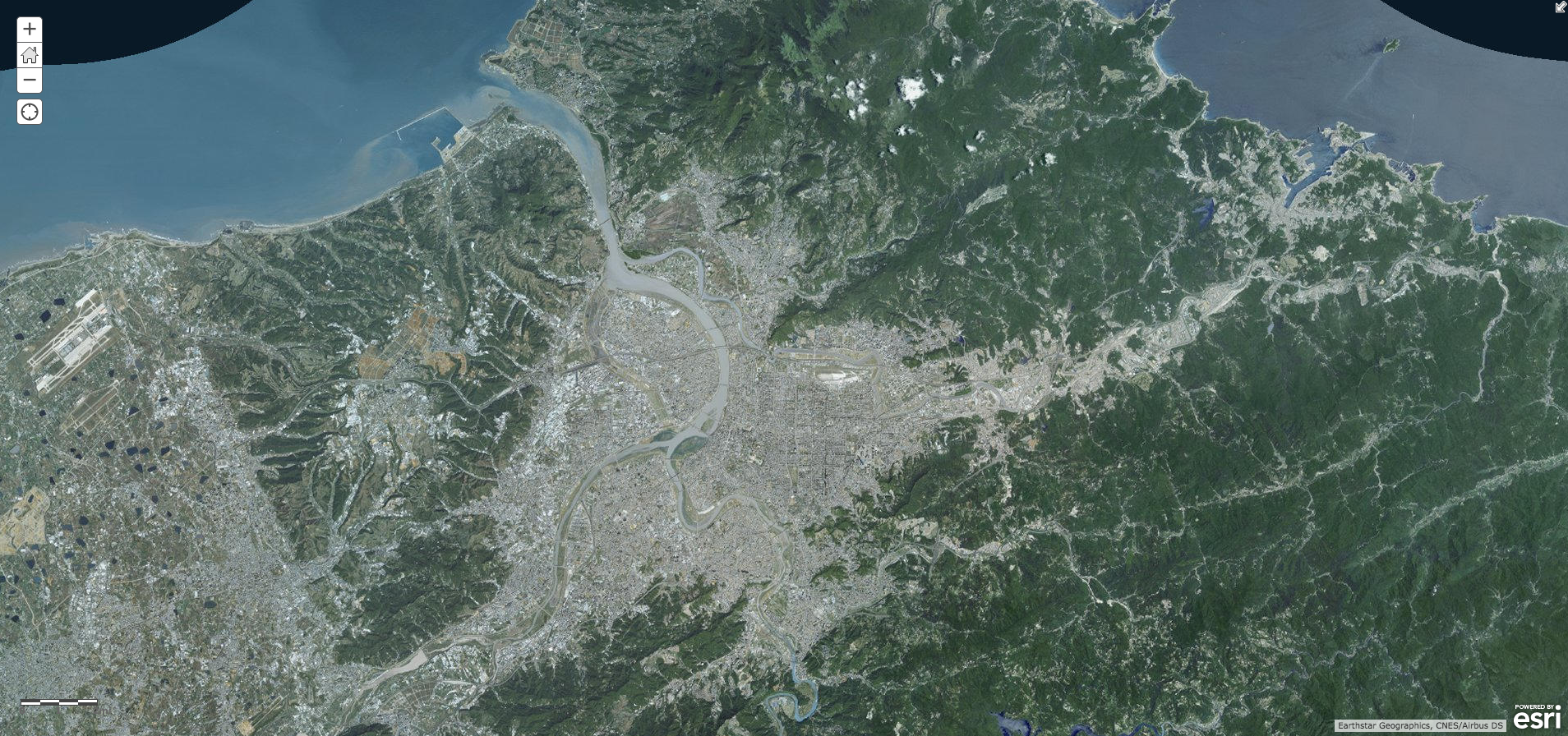
World Imagery – ArcGIS – Esri
https://www.arcgis.com/home/item.html?id=10df2279f9684e4a9f6a7f08febac2a9

