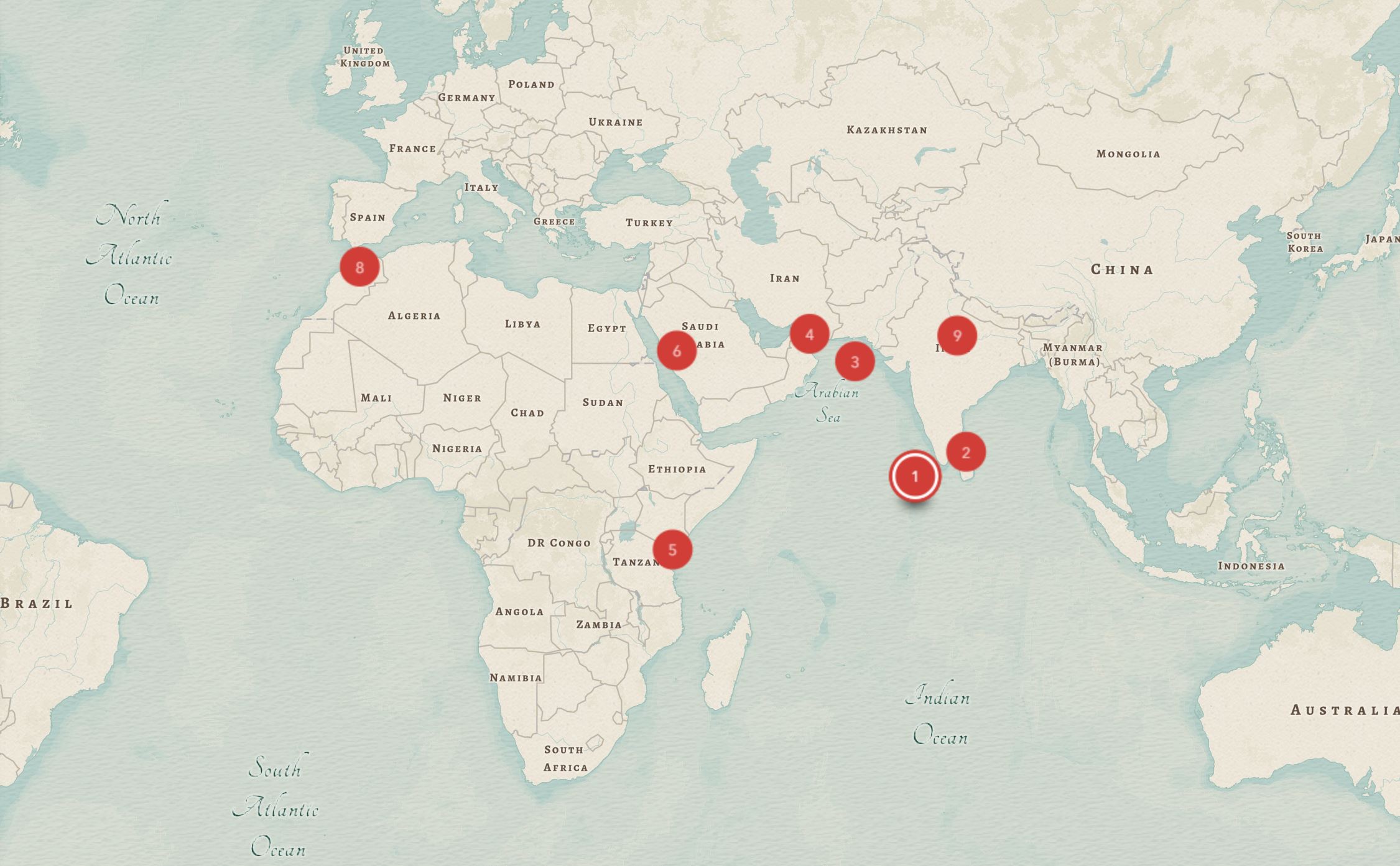
Music ArcGIS Story Maps
Assignment Courtesy of Rehanna Kheshgi
The ArcGIS Story Maps builder is similar to WordPress – projects look both professional and visually eye-catching.
Mapping/Geospatial
Long Term Project
7+ hours
Individual
This project could be adapted as a small group (2-4 members) project.
Complexity
ESRI has streamlined the Story Maps application to straight forward – the setup for content is very similar to the WordPress editor. Complexity of the project will sometimes depend on the topic being mapped and the size of the project – however, prior mapping experience is not required for a similar project to be successful.
Challenges
Maps can be set to private, St. Olaf only, or public. In order to share maps with individuals outside St. Olaf, the maps will require a public setting.
Accessibility Issues
Story Maps offers options for alternative text and additional description fields for images, videos, and other media. The program also has a preview window to see the project as a phone, tablet, or desktop in order to see how the project will look for different users.
